
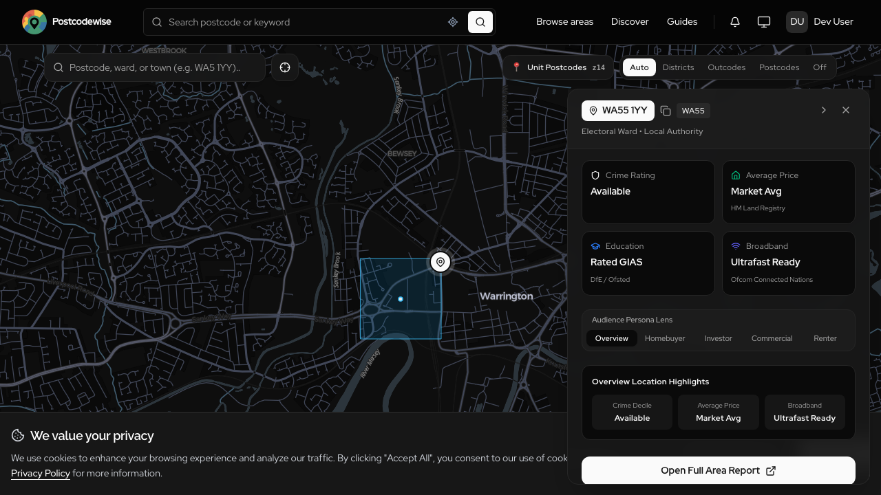
Uncovering invisible property risks with Defra strategic noise contours and BGS ground stability data.
When viewing a property on a sunny Saturday afternoon, it is easy to fall in love with high ceilings and a newly renovated kitchen. But what happens on Monday morning when the freight train rumbling through a nearby cutting generates 65 decibels of low-frequency rumble? Or when the property suffers structural cracking because the underlying London clay shrinks during a summer heatwave?
In the UK, structural subsidence claims cost insurers over £400 million annually, and environmental noise pollution is now recognized by the World Health Organization as a major driver of chronic sleep disruption and stress.
In Postcodewise v2.36, we have integrated three crucial datasets from authoritative government bodies to protect our users from costly surprises:
- Defra Strategic Noise Mapping (Road, Rail, and Air)
- British Geological Survey (BGS) GeoHazard Assessments
- Hyper-Local Postcode Rental Yields
1. Defra Strategic Noise Mapping
The Department for Environment, Food & Rural Affairs (Defra) produces strategic noise maps under the Environmental Noise (England) Regulations. These maps model noise levels from major transport networks:
- Road Traffic Noise: Major motorways, A-roads, and dual carriageways.
- Rail Noise: High-speed, passenger, and freight rail corridors.
- Aviation Noise: Aircraft approach and departure flight paths around UK airports.
Postcodewise parses and renders these decibel contours directly on the map:
- Lden (Day-Evening-Night Indicator): The average sound level over a 24-hour period, with penalties applied for evening and nighttime noise.
- Lnight: Sound levels between 23:00 and 07:00, critical for evaluating bedroom acoustic comfort.
A property situated in a 65–70 dBA contour requires acoustic glazing and mechanical ventilation, directly influencing purchase negotiations and renovation budgets.
2. British Geological Survey (BGS) GeoHazards
The British Geological Survey is the nation's premier Earth science research institute. Understanding the ground beneath your foundations is fundamental to property valuation:
Shrink-Swell Clay Subsidence Potential
Shrink-swell clay is the single largest cause of foundation movement in the UK. When clay soils absorb moisture during wet winters, they swell; during hot, dry summers, they shrink and pull away from footings. Postcodewise rates your postcode on a clear 5-tier hazard scale (Very Low to High), allowing prospective buyers to inspect foundation depth and tree proximity.
Other Geotechnical Indicators
- Compressible Ground & Landslides: Identifies peat deposits, alluvial silts, and sloping strata vulnerable to shear failure.
- Running Sand: Risks associated with saturated sand deposits when water tables fluctuate.
- Radon Gas Action Levels: Checks UK Health Security Agency (UKHSA) radon potential maps to determine if protective sub-floor membranes are advised.
3. Postcode Rental & Investment Yields
For property investors and financial analysts, gross rental yield is the foundational metric of viability:
Gross Rental Yield (%) = (Annual Gross Rental Income ÷ Property Purchase Price) × 100%
Postcodewise aggregates real market transaction figures and tenancy registrations to calculate median rental yields by postcode and outcode. You can instantly benchmark a local 6.2% yield against the regional average (e.g. Greater London 4.8%, North West 7.1%) to identify undervalued assets with robust cash flow.
How to Access These Metrics
All three datasets are automatically included in any Postcodewise report. Simply search for any UK postcode, navigate to the Surveyor & Due Diligence or Investor tab, and review the interactive maps and summary cards.
Postcodewise Product & Engineering
OfficialPostcodewise is operated by Digitsflow LTD, delivering verified open-government location intelligence, demographic insights, and spatial analytics across the United Kingdom.
Keep exploring
Recent Releases & Articles
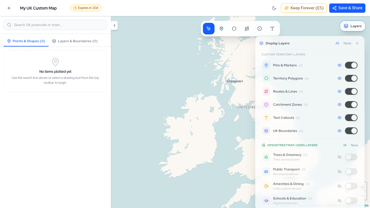
The Postcodewise Summer 2026 Mega Product Update: 35+ Releases, Map Studio, NaPTAN Transit, Conversational AI, and Sub-10ms Search
Over the last two months, the Postcodewise platform has undergone its most expansive transformation to date. Spanning more than 35 rapid releases (v2.13 through v2.49), we have introduced Map Studio, full official NaPTAN transit integration, Conversational Location Intelligence, sub-10ms Typesense search, Defra noise contours, BGS ground hazards, and our official Model Context Protocol (MCP) server. Here is an exhaustive breakdown of everything we have built.
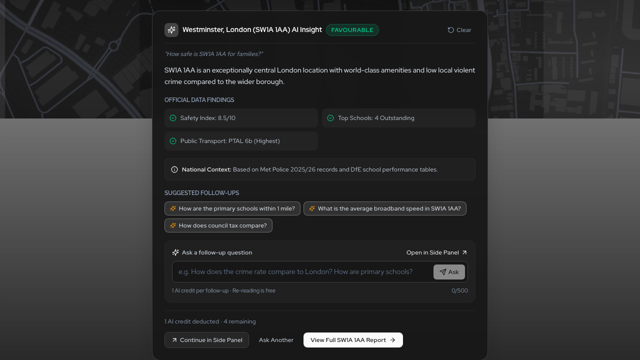
Conversational Location Intelligence: Ask Any UK Postcode Question in Natural Language
Say goodbye to digging through dozens of disjointed data tables. With Postcodewise Conversational AI, you can ask complex questions about UK postcodes in plain English—from family suitability and school catchments to rental yield comparisons—and receive instant, verified answers grounded in official open government data.
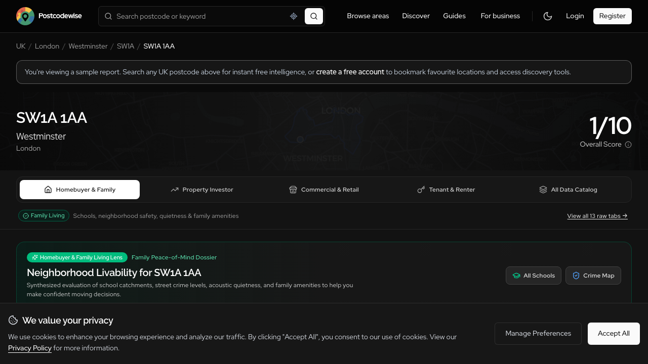
Introducing Audience Lenses: Tailored Location Intelligence for Buyers, Investors, Businesses, and Surveyors
A family evaluating schools needs completely different insights than a buy-to-let investor assessing gross yields or a surveyor checking subsidence hazards. Introducing Audience Lenses: four purpose-built analytical perspectives available across Postcodes, Districts, Wards, Comparisons, and Guides.
Experience these features on your own postcode
Search any UK postcode to explore conversational location AI, school catchments, crime trends, planning applications, and ground hazards.