

District-wide outcode intelligence combining GLA London Datahub planning feeds with local GeoJSON boundaries.
Planning applications shape the future character of every British community. A proposed five-storey residential block next door can permanently obstruct your natural light, while a newly approved high street revitalization scheme can boost local property values by 20%.
Yet accessing planning records across the UK's 300+ local planning authorities has historically been an exercise in frustration. Every council operates its own disparate, clunky planning portal with inconsistent search interfaces and broken links.
In Postcodewise v2.35, we have solved this with two major innovations:
- GLA Planning London Datahub Ingestion
- Universal Statutory Planning Portal Resolution
- Comprehensive District Outcode Intelligence (
/outcode/*)
1. GLA Planning London Datahub Ingestion
For Greater London postcodes, Postcodewise connects directly to the Greater London Authority (GLA) Planning London Datahub—the authoritative statutory register of development proposals across all 32 London Boroughs and the City of London.
Instead of navigating council websites, you get:
- Live Application Tracking: Full proposal summaries, submission dates, and statutory decision states (Approved, Pending, Refused).
- Development Typologies: Clearly categorized by residential extensions, commercial change-of-use, major masterplans, and infrastructure.
- Precise Geospatial Mapping: Every application is plotted with verified coordinates and distance from the target postcode.
2. Universal Statutory Planning Portal Resolver
What about postcodes outside Greater London? Across England, Wales, Scotland, and Northern Ireland, Postcodewise automatically identifies the statutory local planning authority governing the address.
Our resolver provides a direct, verified deep-link to the council's official planning portal with pre-populated search queries. Whether you are researching an application in Birmingham, Leeds, Edinburgh, or Cardiff, you can jump straight to the statutory case documents with zero manual searching.
3. District Outcode Reports (/outcode/*)
Many users need to understand entire districts rather than a single street—for example, comparing NW1 (Camden / Regent's Park) with SW1A (Westminster) or M1 (Manchester City Centre).
We have launched dedicated Outcode Reports featuring:
- Interactive District Boundaries: Bundled local GeoJSON boundary polygons rendered with high-performance vector styling—no slow external API calls.
- District Aggregates: Median sold prices, rental yield percentiles, crime frequencies per 1,000 residents, and school density.
- Planning Applications Feed: A consolidated timeline of recent statutory planning submissions across the entire postal district.
- Demographic Breakdown: Age distributions, household tenure, and economic activity from the latest Census.
Why Local Data Bundling Matters
Unlike legacy property platforms that depend on slow, rate-limited external geocoding APIs like FindThatPostcode or remote Overpass queries, Postcodewise hosts all boundary polygons, planning datasets, and coordinate indices locally.
The result? District reports load in milliseconds with zero third-party latency, delivering an instant, seamless research experience on mobile and desktop alike.
Postcodewise Product & Engineering
OfficialPostcodewise is operated by Digitsflow LTD, delivering verified open-government location intelligence, demographic insights, and spatial analytics across the United Kingdom.
Keep exploring
Recent Releases & Articles
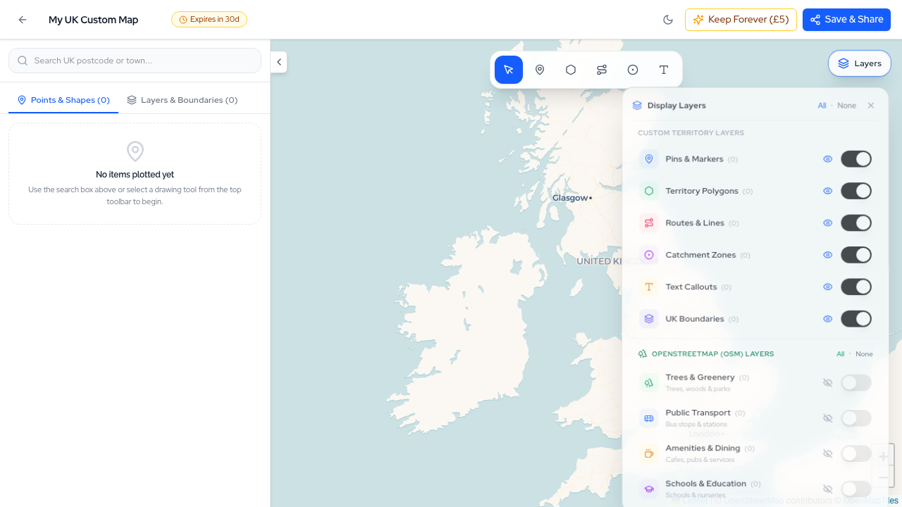
The Postcodewise Summer 2026 Mega Product Update: 35+ Releases, Map Studio, NaPTAN Transit, Conversational AI, and Sub-10ms Search
Over the last two months, the Postcodewise platform has undergone its most expansive transformation to date. Spanning more than 35 rapid releases (v2.13 through v2.49), we have introduced Map Studio, full official NaPTAN transit integration, Conversational Location Intelligence, sub-10ms Typesense search, Defra noise contours, BGS ground hazards, and our official Model Context Protocol (MCP) server. Here is an exhaustive breakdown of everything we have built.
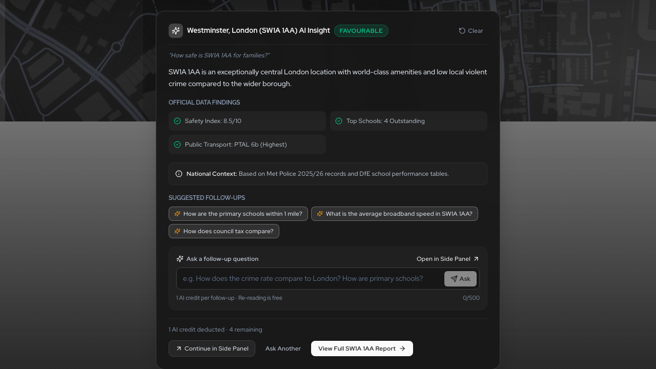
Conversational Location Intelligence: Ask Any UK Postcode Question in Natural Language
Say goodbye to digging through dozens of disjointed data tables. With Postcodewise Conversational AI, you can ask complex questions about UK postcodes in plain English—from family suitability and school catchments to rental yield comparisons—and receive instant, verified answers grounded in official open government data.
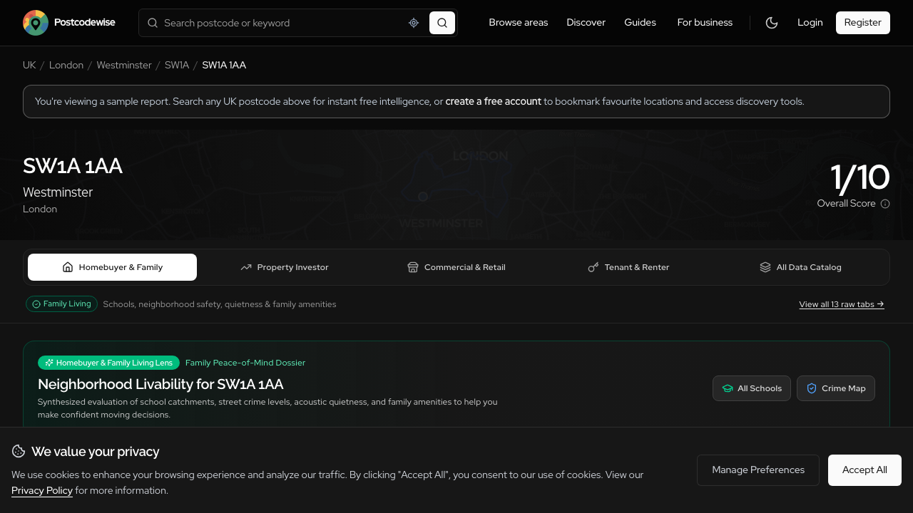
Introducing Audience Lenses: Tailored Location Intelligence for Buyers, Investors, Businesses, and Surveyors
A family evaluating schools needs completely different insights than a buy-to-let investor assessing gross yields or a surveyor checking subsidence hazards. Introducing Audience Lenses: four purpose-built analytical perspectives available across Postcodes, Districts, Wards, Comparisons, and Guides.
Experience these features on your own postcode
Search any UK postcode to explore conversational location AI, school catchments, crime trends, planning applications, and ground hazards.